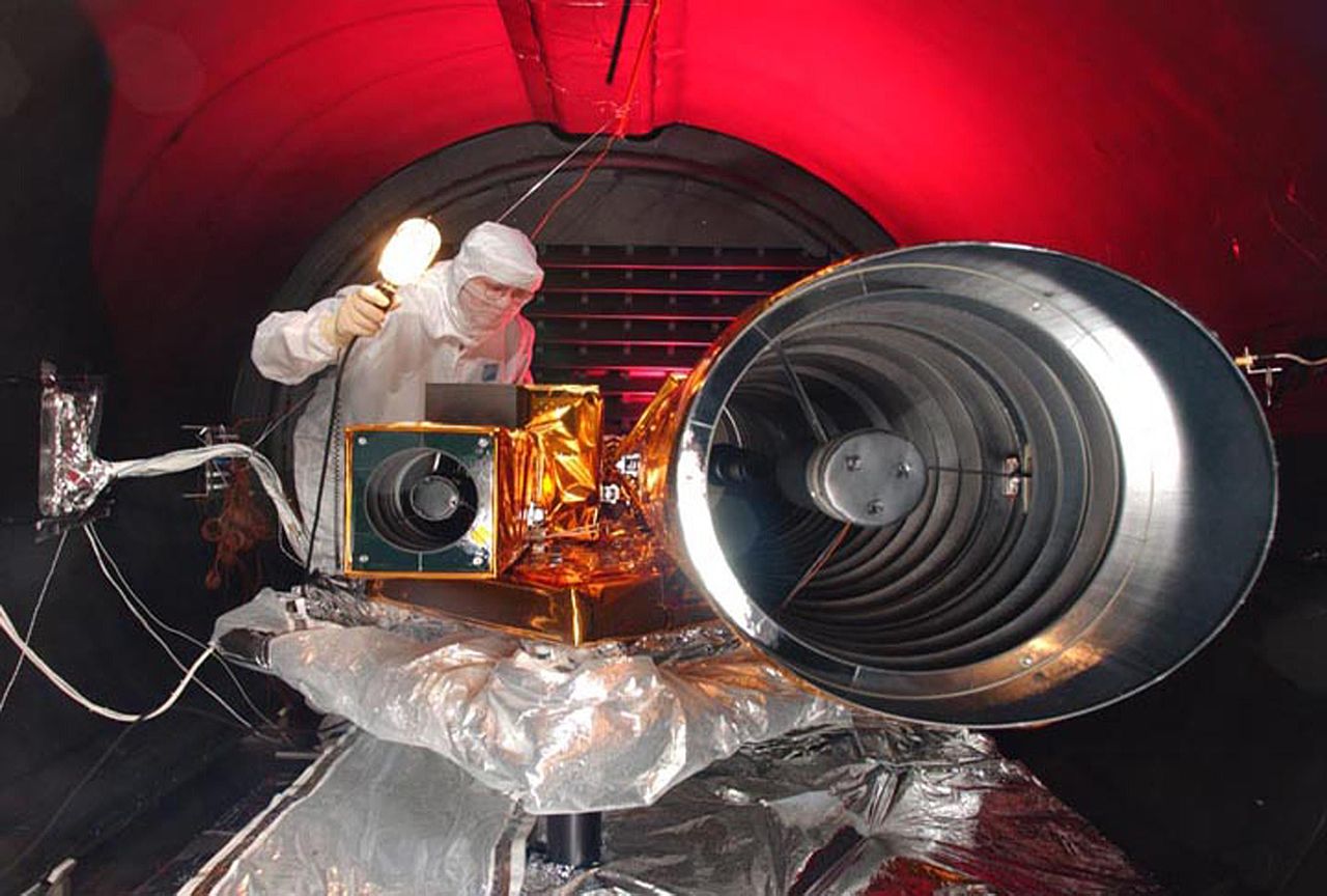
Datei:Deep Impact HRI tests.jpg

Größe dieser Vorschau: 800 × 540 Pixel. Weitere Auflösungen: 320 × 216 Pixel | 640 × 432 Pixel | 1.024 × 691 Pixel | 1.280 × 864 Pixel | 3.000 × 2.025 Pixel.
Originaldatei (3.000 × 2.025 Pixel, Dateigröße: 370 KB, MIME-Typ: image/jpeg)
| Beschreibung |
|
| Datum | vor 10. Januar 2005 |
| Quelle | |
| Urheber | NASA |
Diese Mediendatei wurde vom Kennedy Space Center der US-amerikanischen National Aeronautics and Space Administration (NASA) unter der Datei-ID KSC-05PD-0115 UND der Alternativen Datei-ID 05pd0115 kategorisiert. Diese Markierung zeigt nicht den Urheberrechtsstatus des zugehörigen Werks an. Es ist in jedem Falle zusätzlich eine normale Lizenzvorlage erforderlich. Siehe Commons:Lizenzen für weitere Informationen. Sprachen:
|
| Kameraposition | | Dieses und weitere Bilder auf OpenStreetMap |
|---|
| Diese Datei ist gemeinfrei (public domain), da sie von der NASA erstellt worden ist. Die NASA-Urheberrechtsrichtlinie besagt, dass „NASA-Material nicht durch Urheberrecht geschützt ist, wenn es nicht anders angegeben ist“. (NASA-Urheberrechtsrichtlinie-Seite oder JPL Image Use Policy). | ||
 |
Warnung:
|
Dateiversionen
Klicke auf einen Zeitpunkt, um diese Version zu laden.
| Version vom | Vorschaubild | Maße | Benutzer | Kommentar | |
|---|---|---|---|---|---|
| aktuell | 22:09, 9. Jul. 2005 | | 3.000 × 2.025 (370 KB) | wikimediacommons>Bricktop |
Dateiverwendung
Die folgende Seite verwendet diese Datei: